Confluence Point State Park — West Alton, Missouri
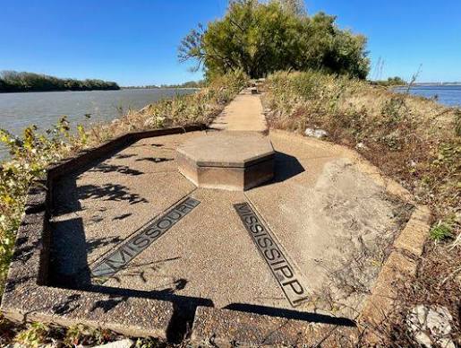
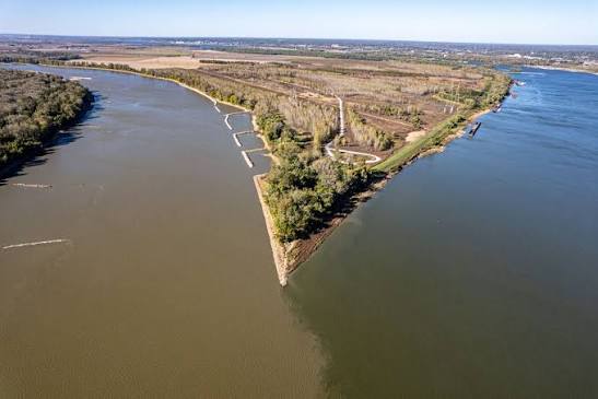
Drive a half hour north of downtown St. Louis, park at the end of Riverlands Way, and walk out to the tip of the point. There is water on your left and water on your right, and for a long stretch downstream the two never quite mix — the silty Missouri running alongside the clearer Mississippi in a seam you can see from the air.
Stand there a while and a question answers itself: why is St. Louis here?
The confluence is a beautiful place, but that isn’t what makes it important. It is the geographic reason this corner of Missouri became one of the great crossroads of the American interior. The town, the trade, the traffic heading west, the immigrants who came and stayed — all of it came after this, and because of it.
A Town Placed to Reach a Continent
When Pierre Laclede and Auguste Chouteau founded St. Louis in 1764, they weren’t simply choosing a pleasant spot to build a town. They were choosing a place from which they could reach the enormous network of rivers stretching into the interior of the continent.
What they built was a French fur-trading community, and it grew on the strength of what floated past it. Furs came downriver; goods went up. St. Louis quickly became a hub for trade with Native peoples and for commerce moving the length of the Mississippi and up the Missouri — a small settlement doing business across a territory most of its neighbors would never see.
The French chose the site for how far it could reach. Within forty years, the country that bought it would set out to learn exactly how far that was.
The Road West Was Made of Water
After the Louisiana Purchase, Lewis and Clark used this stretch of river as their jumping-off point, wintering just across the water before starting up the Missouri in the spring of 1804. They were the first of a very long line.
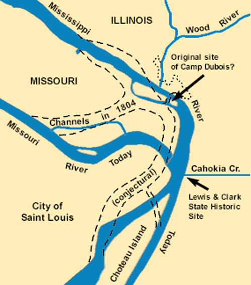
For most of the century that followed, the Missouri River was a highway into the frontier, with steamboats carrying people and supplies upstream, while the Mississippi connected St. Louis south to New Orleans and the wider world. Families bound for the Oregon and California Trails stopped here to outfit themselves first — whatever they believed they would need for the next two thousand miles, they bought it in St. Louis.
But not everyone who came up the river was passing through.
Beginning in the 1830s, and especially through the 1840s and 1850s, thousands of German immigrants arrived by way of St. Louis. The same river system that carried trappers and emigrants west gave them a natural road into the interior of the state, and German communities took hold along the Missouri — Washington, Hermann, and town after town up the river valley.
Those families didn’t just pass through. They became Missouri. Their churches, breweries, wineries, farms, businesses, schools, traditions and neighborhoods are still, generations later, a great deal of what this region is.
The Rivers Still Matter
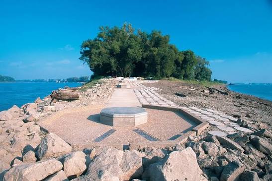
None of this is only history. The same waterways that carried French traders, German immigrants, steamboats and westward travelers now carry barge traffic and support agriculture, manufacturing, transportation and recreation throughout our region.
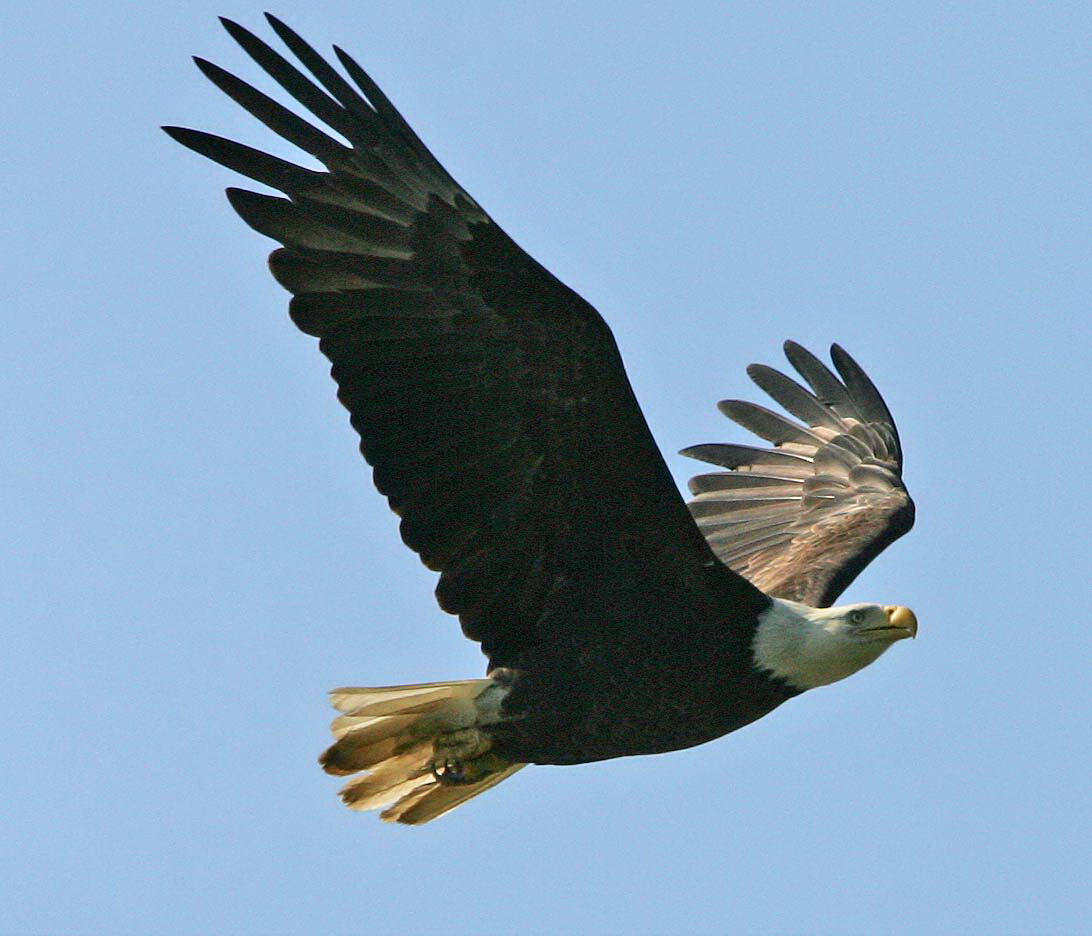
They still carry travelers, too — just not our kind. The Mississippi Flyway follows this corridor, and the National Audubon Society reckons that some 60 percent of North American migratory bird species use it, which is why an Audubon center sits on the same road that runs out to the point. Bald eagles winter along this stretch of river in numbers that draw crowds every January.
So when we call St. Louis the Gateway to the West, we aren’t really talking about the Arch. The Arch is the monument. The gateway is the water it was built beside.
Two rivers. One crossroads. And the beginning of the story of the community we call home.
The point is a short walk from the parking area at Edward “Ted” and Pat Jones-Confluence Point State Park, 1000 Riverlands Way, West Alton. Go on a clear day, and you can stand with one river on your left, the other on your right, and the whole reason for this city running out in front of you.